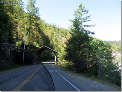
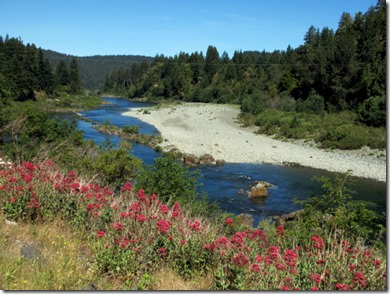
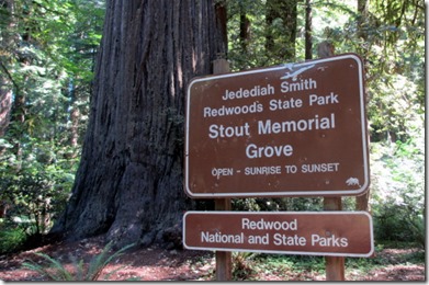
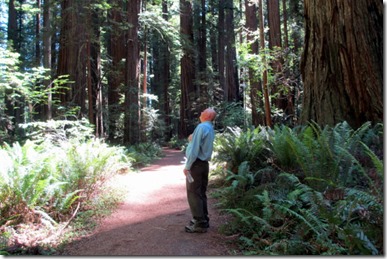
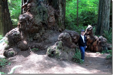
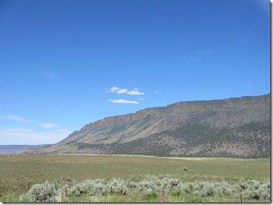
After leaving Crescent City we headed to southern Oregon and proceeded east. When we reached Lakeview, OR we headed north on US 395. Along the highway was the Abert Rim on our right which went on for miles and miles. I sometimes wonder what explorers and settlers thought when they came to the edge of this plateau and gazed at this massive valley.
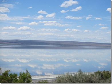
This is Abert Lake and Sandy could not resist taking a picture of the fluffy clouds reflecting on the water.
On Sunday, 6-16, we left Ontario, OR. for Idaho Falls, the long way, via Missoula, MT.
This is the Salmon River Canyon in Idaho along US 95.
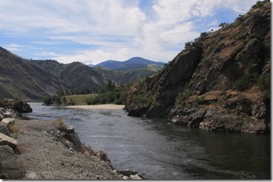
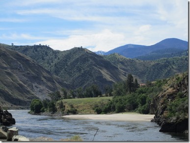
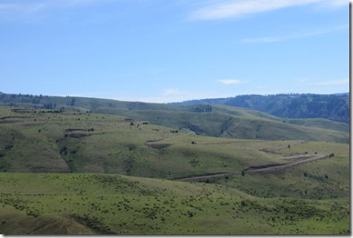
For 60 years after construction was completed in 1915, White Bird Grade was part of Idaho’s only north-south highway. Many tortuous curves and switchbacks—which, if placed together, made 37 complete circles—let the old road climb 2900 feet in 14 miles of switchbacks. This grade was replaced in 1975. The photo below shows the old highway while we drove on the new one.
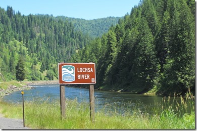
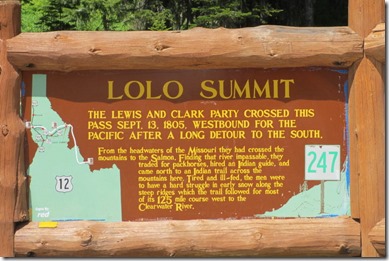
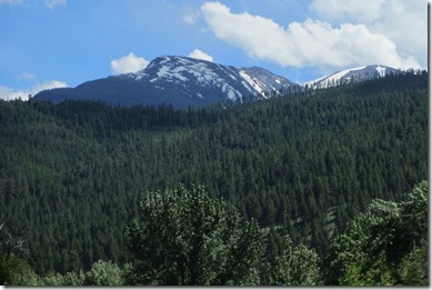
Once we got to US 12 we headed northeast for about 80 miles along the Lochsa River.
We tried to drive US 12 through Idaho last summer, but the smoke from wildfires stopped us. As you can see the skies were clear on this trip.
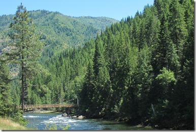
There were several of these foot and ATV bridges to get to the southeast side of the river.
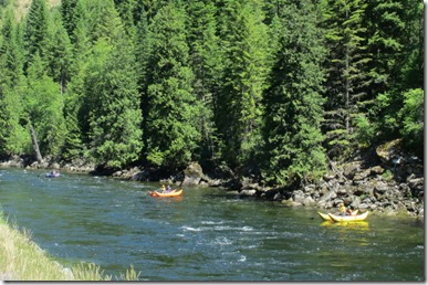
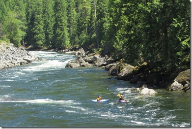
We spotted several groups of rafters and kayakers using the river.
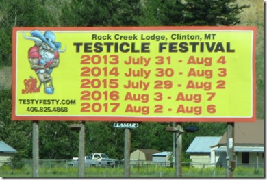
Sandy says we need to come back at the end of July, I think I will stay home. But we do know someone who has been there. Hey Gil and Nancy, do---- they really taste like chicken?
Because we took the long way around we didn’t get into Idaho Falls, ID until 9:00 PM. The next morning, 6-17, we took the short drive (100 miles) to Jackson, WY to visit our friends, Ron and Jane, who are camped at the Gros Ventre Campground. It turned out some other friends, John and Linda from Larkspur, CO where also there so we had a nice visit with everyone. Sorry everyone for not getting a picture.
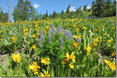
The flowers were in full bloom at the 8,000 foot elevation by Teton Pass.
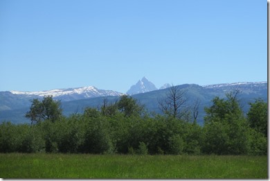
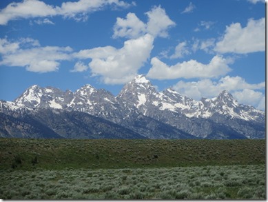
This is the first view you get of the Tetons from the west side on HWY 22 coming into Jackson. This is how I first saw the Tetons in 2002 driving our 64 Chevelle home from Albany, Oregon. It’s amazing to see the two jagged peaks jutting up behind the “hills”.
The Teton Pass is at an elevation of 8,431 feet.
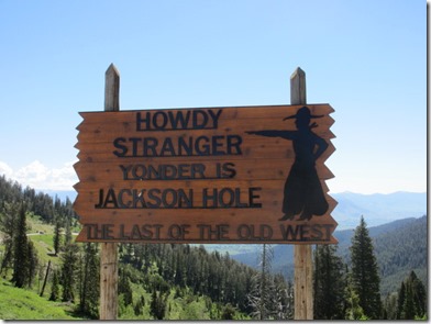
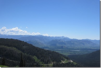
And you get a good perspective of why they call it Jackson Hole from up there.
Here are the Tetons as the look from the east side.
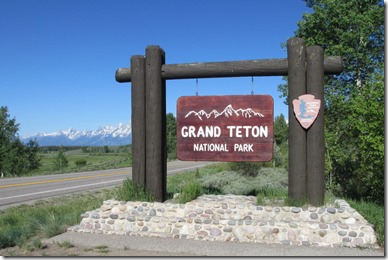
As we left the Tetons on 6-18, we stopped at the west entrance to get this shot of the sign with the Tetons in the background.
After spending the night near Rapid City, SD we drove the last stretch home getting in around 7:00 PM on 6-19.
It was nice to be home. Even though we had a great time on this trip we sure missed the motorhome after staying 17 nights in motels and eating in restaurants.
Having visited 5 National Parks that we had never been to before, we were surprised about which one we liked best on this trip. We have rated them as follows:
1) Sequoia National Park with all the magnificent trees.
2) Kings Canyon for the same reason.
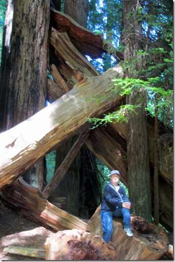
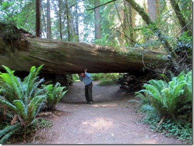
3) The Redwood State and National Parks around Crescent City.
4) Lassen Volcanic National Park.
5) Yosemite National Park. Now this surprised us as to where we placed it with all the hype we had heard about it. Although Yosemite was beautiful and special, you just can’t see those awesome trees any other place.
Now we know that this would not be the order that a lot of people would rate THESE great parks, but that is what makes us all different in our taste and views.
Until next time,
Dave and Sandy
