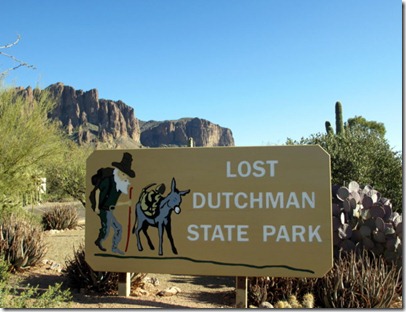
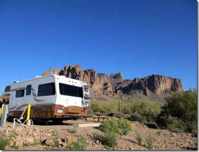
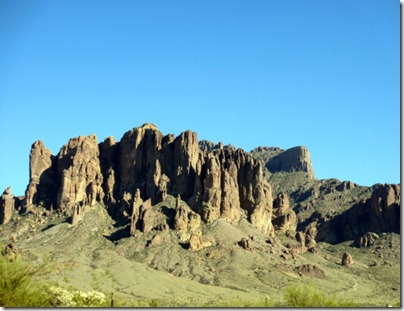
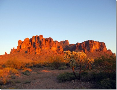
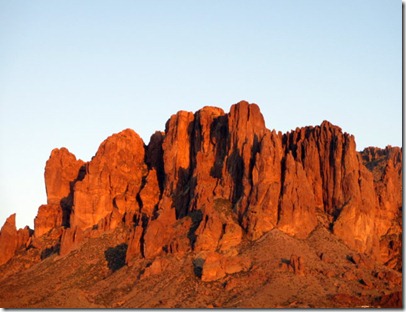
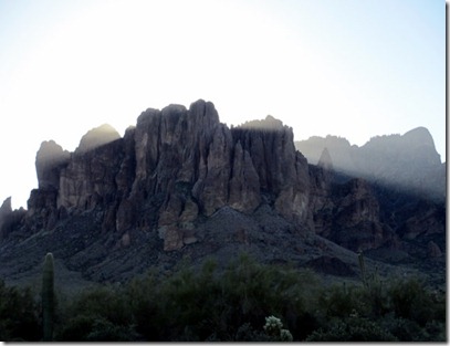
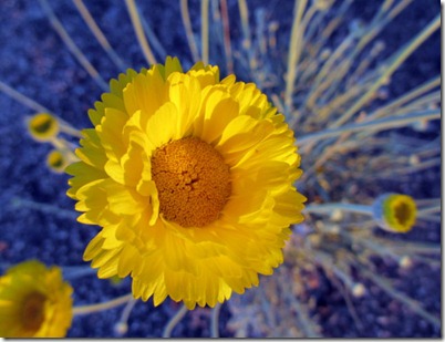
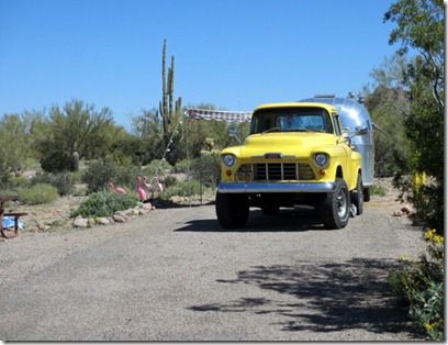
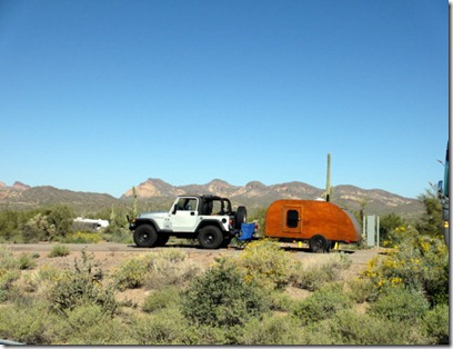
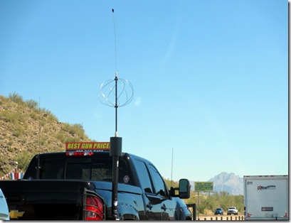
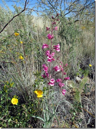
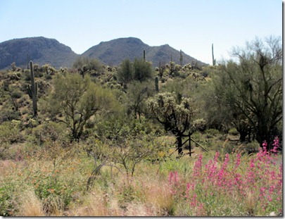
One of the reasons we came to Lost Dutchman was to take a drive to Globe, Show Low and Payson, AZ. Of course, we had to stop and get pictures of the flowers along the way.
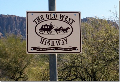
Part of US 60 in Arizona is called----
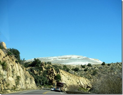
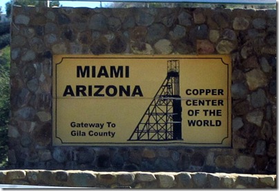
The hill in the back ground is tailings from a copper mine in the Miami/Globe area.
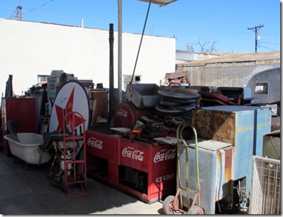
I saw this old gas station in Globe and just had to stop and look it over.
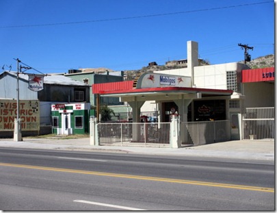
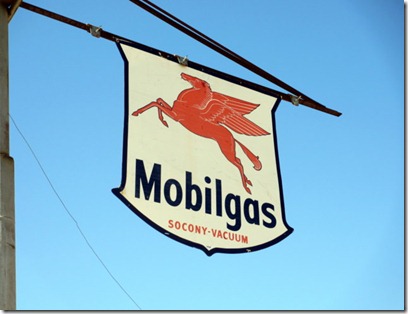
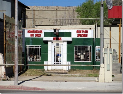
This is an old bulk truck used for hauling gas and fuel oil.
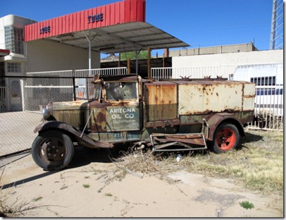
There were lots of old signs and junk, oops, I mean antiques laying around.
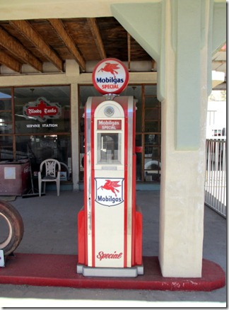
This gas pump was in very good shape.
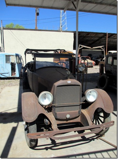
I had never heard of a Jewett car before.
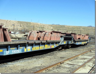
These copper billets were loaded and ready to be shipped, probably to a rolling mill to make coil or wire. More copper is mined in Arizona than all the other states combined.
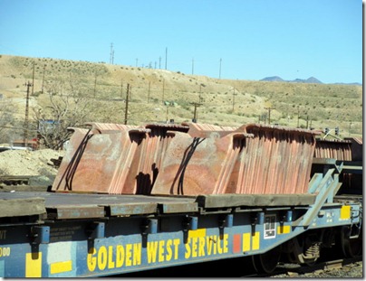
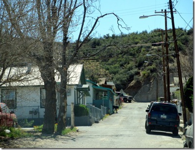
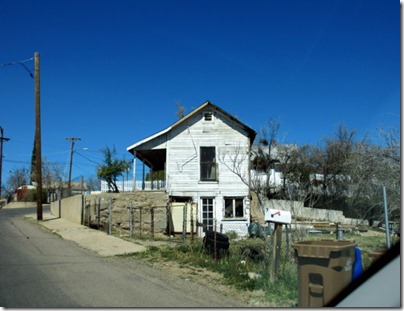
When we drove to the other side of the tracks to get a closer look of the copper billets on the train we had to drive through some of the older housing areas.
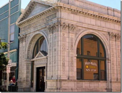
This was an old bank building in the historic area of Globe.
When we drove from Globe to Show Low we went through the Salt River Canyon. It reminded me of a small version of the Grand Canyon.
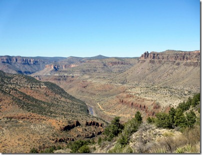
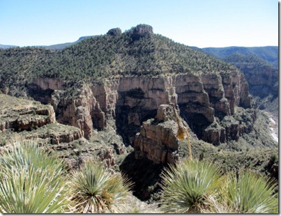
We had to do a lot of zigzagging to get down and then back up the canyon.
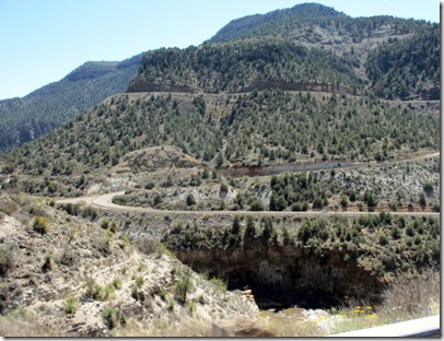
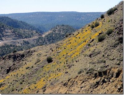
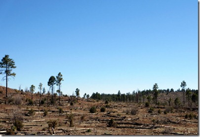
We came across a lot of fire damage in the Show Low area as this is one of the areas hit by forest fires last summer.
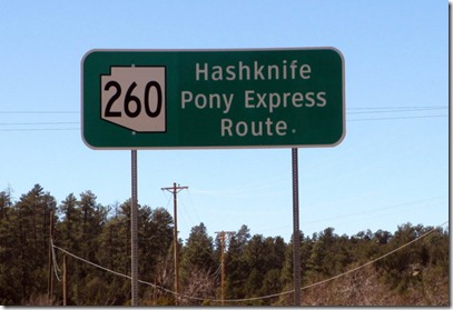
We followed an old Pony Express route from Show Low to Payson.
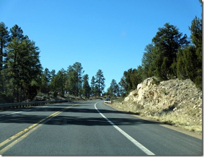
It’s a lot easier driving today.
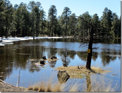
West of Show Low there was still some snow hanging on to its last bit of life before turning to water. Just a note: 5 days after this picture they had a snow storm that dumped 35 inches of snow on the area.
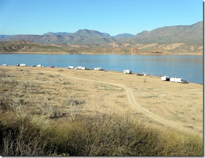
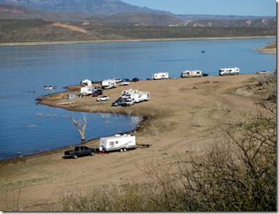
It looks like having Roosevelt Lake down about 20-25 feet gives the campers a lot more room to camp next to the water. This would be the kind of boondocking/dry camping I could get used to.
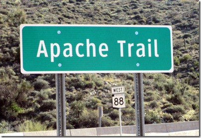
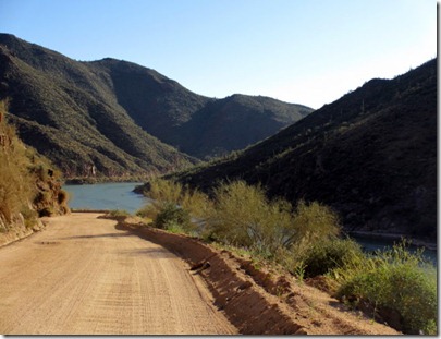
Apache Trail is a road, Hwy 88, that runs from Apache Junction to Lake Roosevelt for about 50 miles. More than half of that is a dirt road that runs from two lanes to one lane with wide spots for getting by opposing traffic. It is easily traveled with a car and generally follows the Salt River.
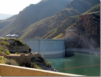
This is the upstream side of the Theodore Roosevelt Dam that creates Lake Roosevelt.
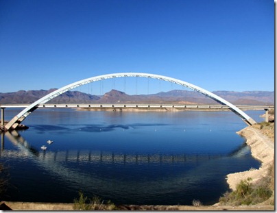
The Lake Roosevelt Bridge is the longest two-lane, single-span, steel-arch bridge in North America. It was built from 1987-1990 at a cost of $23.3 million to relocate traffic off the top of the dam.
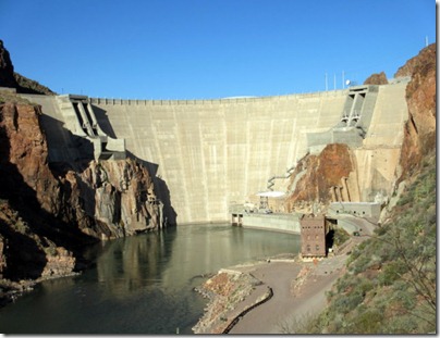
This is the down stream side of the Theodore Roosevelt Dam. Very little water was being released.
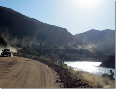
Here we are heading down stream along the Salt River. The road was very dusty and had a fair amount of two-way traffic. Needless to say, we needed a car wash the next day.
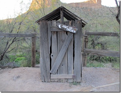
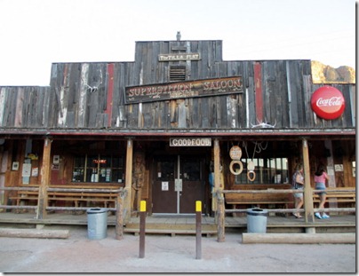
About half way on this road we came to Tortilla Flats which has 4 buildings, one of which is this outhouse. Tortilla Flats is a tourist and biker destination which has two bars and a convenience store. Make sure to time it right if you are looking for a cold one or a bite to eat, as they shut down at 5:00 PM on week days and 6:00 PM on the weekends. Not too many people drive this this winding road after dark.
This is Canyon Lake where I have heard you can catch some large Crappie.
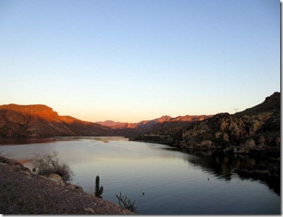
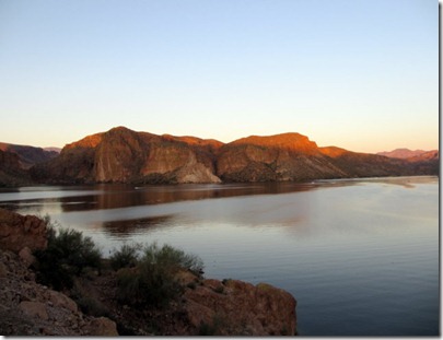
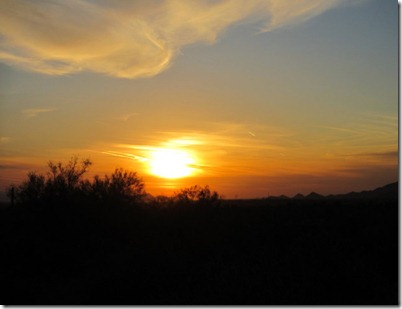
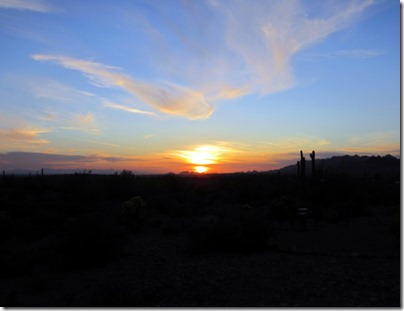
We managed to get some good sunset pictures.
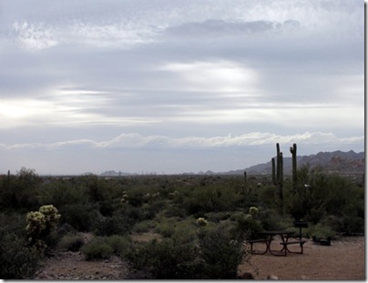
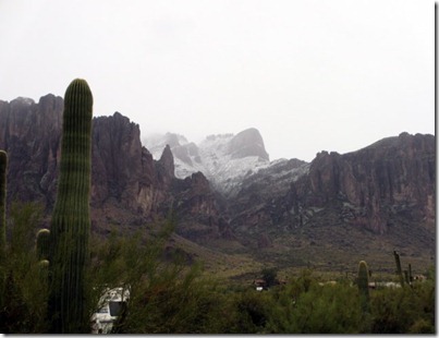
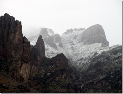
Over night we had a cold front come through. It was a rainy 35 degrees this morning. When we woke up Sunday morning, the 18th, we had a new view of the snow capped Superstition Mountains.
Until next time,
Dave and Sandy
