Saturday, February 28, 2015

CALIFORNIA, PART 2. LONE PINE.

2-22 THROUGH 2-25

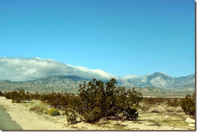
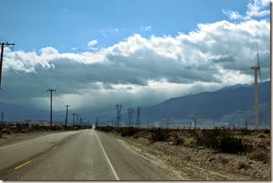
Feb 22. After breakfast at the ELKS Club with Chuck, Lorraine and three of their friends we headed back towards LA to Yucaipa, CA where we wanted to check out a campground we were told about. Leaving the Palm Springs area we had very strong winds, blowing dust and the clouds were coming over the mountains.
1-DSCN1345

2-DSCN1348

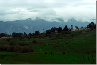
Driving into Yucaipa you could tell they have had some rain recently as everything in so green.
3-DSCN1353

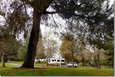
It started to sprinkle some after we got set up in the Yucaipa Regional Park and later that night we had .48 inches. Very nice campground and we would stay here again if in the area. The next day it rained so we took advantage and did laundry and bought groceries.
1-DSCN1358

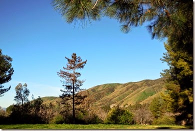
Of course, the day we are leaving, it’s a nice sunny day.
2-DSCN1362

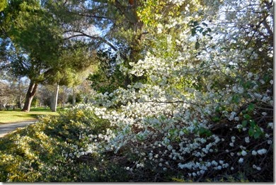
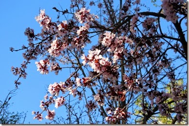
Spring blossoms popping out all over.
3-DSCN1364

4-DSCN1368

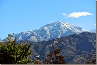
While it was raining on us yesterday, it snowed at the higher elevations.
5-DSCN1372

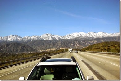
On the 24th, after 2 nights in Yucaipa, we headed north to Lone Pine, CA which is just west of Death Valley. As we were driving up Cajon Canyon Sandy took this picture of the San Gabriel Mountains out the back of the RV and caught this car driving way too close. Just kidding, that’s our Subaru.
6-DSCN1395

1-DSCN1408

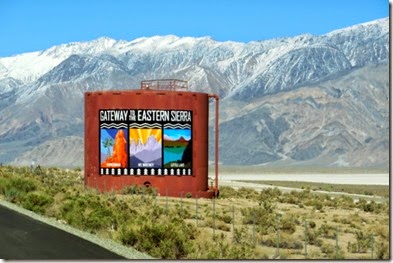
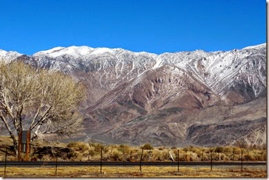
Driving north on Hwy 395 we had the Panamint Mountains on the right with Death Valley about 75 miles on the other side of the mountains to the east.
2-DSCN1410

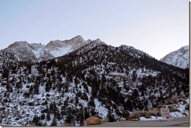
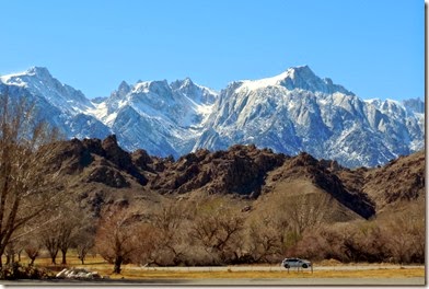
And on our left we had the majestic Sierra Nevada Mountains and the Sequoia National Park on the other side of the Sierras.
3-DSCN1411

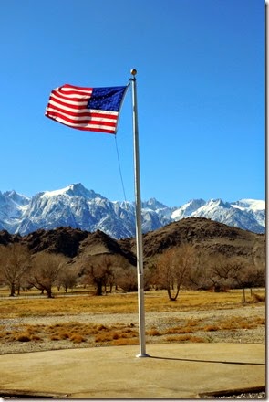
We took this picture from the Eastern Sierra Interagency Visitor Center just south of Lone Pine, CA. While talking with a ranger inside we found out that they have only received 15% of the snow that would normally fall by this time of year. It looks like another bad year for water in California.

That is Mount Whitney under the flag which at 14,494 feet in height is the highest point in California.
4-DSCN1413

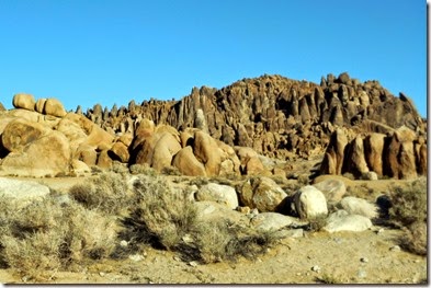
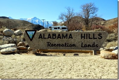
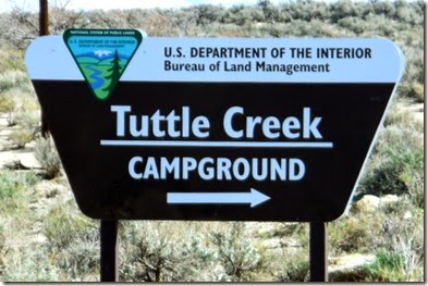
We will be camped at the BLM Tuttle Creek Campground that is located in the Alabama Hills. There were lots of movies and cowboy serials made in this location starting in the 20’s until the late 60’s. Some movies are still filmed here today, but it’s getting to be less as time goes on.
5-DSCN1417

8-DSCN1428

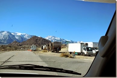
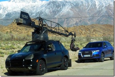
We saw this movie crew as we drove in, but we think they were doing an Audi commercial. Notice the European license plate. We were told later that they make about one commercial a month in the area.
6-DSCN1418

The camera person sits in the chair at the end of the boom hanging out back.
7-DSCN1423

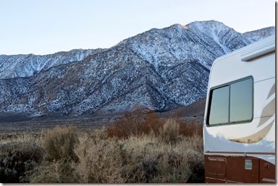
This is our camp site for the next two nights.
9-DSCN1433

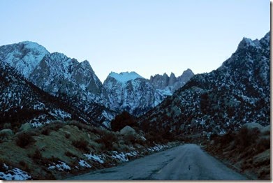
After we got settled in we went for a drive on a road into the Sierras.
1-DSCN1447

2-DSCN1451

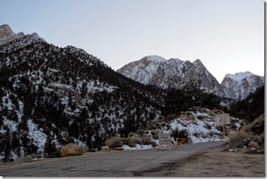
We did not get too far and came to this “road closed” sign.
3-DSCN1452

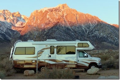
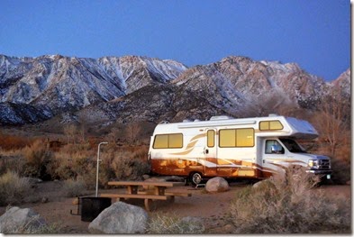
This is the next morning as the sun is rising from our back side. The sun is not above the horizon yet, but you can see the glows reflection on the RV.
01-DSCN1457

Mount Whitney is behind the RV.

02-P1000839

03-P1000844

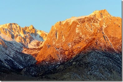
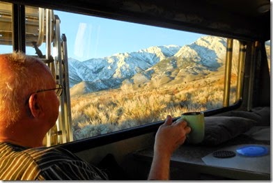
After watching the sunrise shine on the mountain faces, we decided to stay another day, making our stay 3 nights. Wish it could be more. We “WILL” be back. Thanks Bob and Dorothy for telling us about this Campground. What a wonderful way to wake up in the morning to enjoy the view with a hot cup of coffee…just can’t be beat. And to think this cost us $2.50 a night with our Senior Pass. You younger folks have to pay the unseemly price of $5 a night.
04-DSCN1478

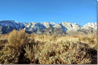
We have the Sierras to the west of us…
05-DSCN1480

and the Alabama Hills to the east.

06-DSCN1485

Until next time,

Dave and Sandy
Thursday, February 26, 2015

CALIFORNIA, PART 1

2-17 through 2-21

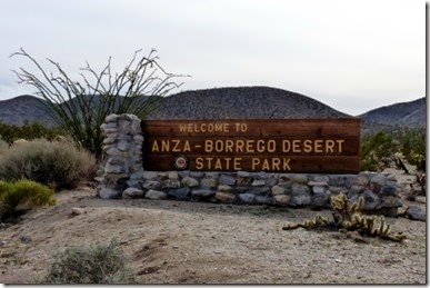
Well, our plans changed a little. We were headed to Death Valley but after finding out our friends Chuck and Lorraine were going to be staying in the Palm Springs area for a while rather than Havasu City, we decided to head south to Anza Borrego Desert State Park before going to visit with Chuck and Lorraine. This park is 634,000 acres which makes up more than half of the real estate of the entire California State Park system, of which there are 279 State Parks.

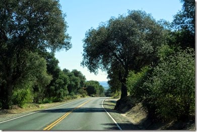
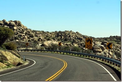
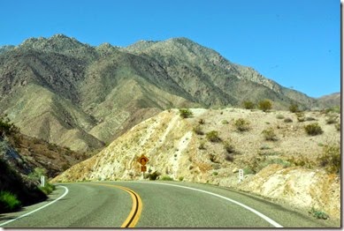
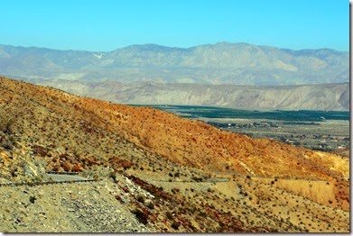
When we finally got off I-15 and east of Temecula on Hwy 79 the road got a lot more interesting….

01-DSCN1282

and more interesting.

02-DSCN1290

04-DSCN1310

Here we are approaching Borrego Springs from the south.

03-DSCN1308

20-P1000821

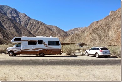
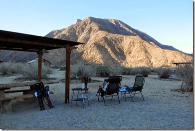
We stayed in the Palm Canyon Campground in the no hook-up section. The state park has a full-service RV Park which was full. Only 3 sites we left in the dry camping area which are “first come, first served”, so we were lucky to one of those with a great view.

05-DSCN1318

06-DSCN1320

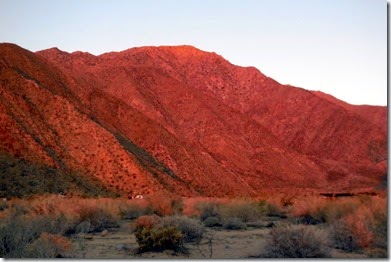
The next morning the sunrise put this beautiful glow on the mountains to the west of our campsite.

07-DSCN1323

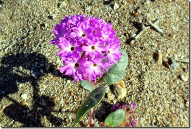
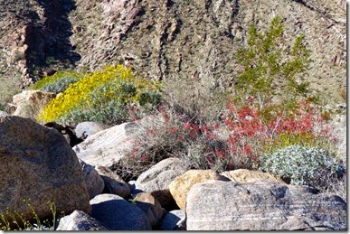
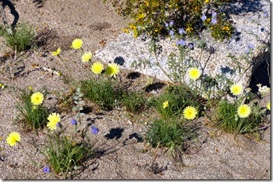
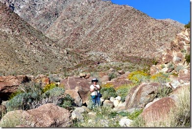
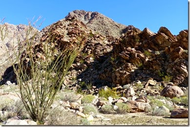
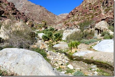
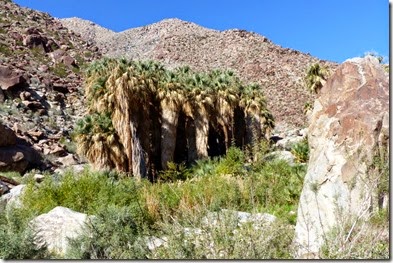
After breakfast we took a hike into Borrego Palm Canyon to check out the oasis in the back of the canyon. The park listed it as a “gentle climb” but floods had washed out part of the trail so we had to do a little rock climbing. There were a few plants blooming.

08-DSCN1326

09-P1000785

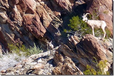
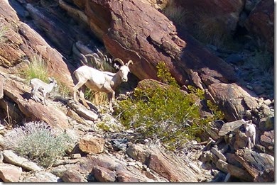
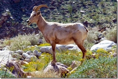
These Big Horn Sheep ewes with young ones were high up on the mountain side. It was a good thing I had a 600mm lens.

A ewe with a collar and one young one.

10-P1000787

Another ewe with two young ones.

11-P1000791

More flowers in the dessert.

12-P1000792

Whenever I need a break I just say “Sandy turn around so I can take a picture”.

13-P1000796

14-P1000797

In the middle of the valley you can see the palm tree oasis by the spring that is supplying water to this creek.

15-P1000803

16-P1000806

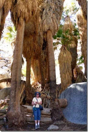
Sandy standing inside the Palm grove.
17-P1000809

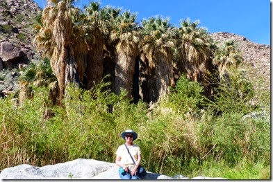
And on the outside as we head back.

18-P1000812

On the way back we came upon 3 ewes that were as close as 40 feet.

19-P1000820

After that “strenuous” 3 mile hike we decided to take a ride over to Julian. Of course, as long as we were there, we had to pick up a Julian Apple Pie. We already had the ice-cream back at the RV.

21-P1000822

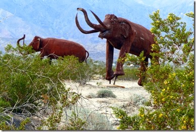
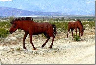
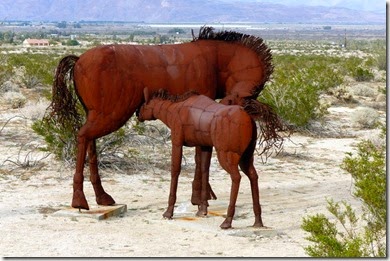
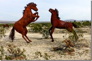
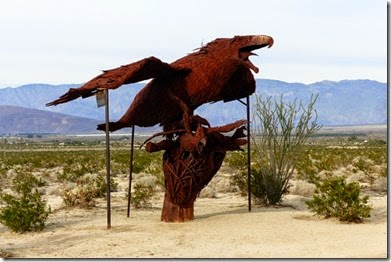
Just off the highway someone has created full-sized metal sculptures of animals.There are many more that we did not look at. Have to leave something for next time.

22-P1000823

24-P1000827

25-P1000828

26-P1000829

Well, maybe the eagle was a little bigger than in real life.

27-P1000830

But you do need to watch where you are walking… glad I was not bare foot or wearing flip-flops.

23-P1000826

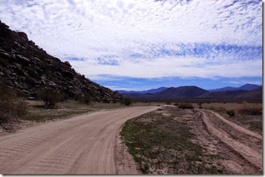
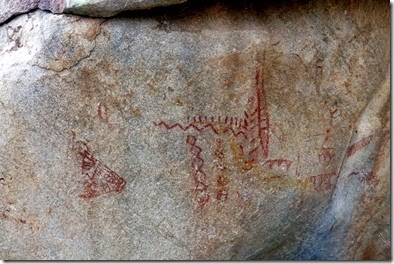
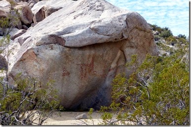
On Thursday, the 19th, we went to Blair Valley to look at one of over 50 Navajo petroglyph sites in the park. The petroglyphs were about 6 miles back on a sand road. Sandy seemed a little concerned as to whether or not I knew where I was going. The road follows the old Butterfield Stagecoach route for a ways.
28-DSCN1331

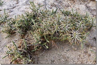
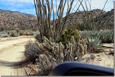
Better keep your arms inside the car. Those Cholla cactus got mighty close.

29-DSCN1336

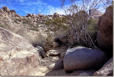
The trail got a little tight as we had to turn sideways to get around this Cholla.

30-DSCN1337

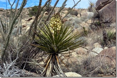
A Yucca blossom.

31-DSCN1338

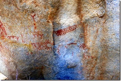
The Petroglyphs, as if you couldn’t tell. At least we got some exercise.

32-P1000833

33-P1000834

34-P1000836

35-DSCN1342

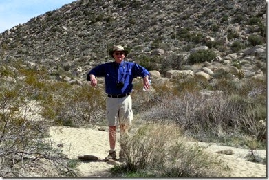
On the way back I had to imitate a Cormorant to dry out. The sun got a little hot and the occasional breeze felt good.

We were surprised at the diversity of the park. The west side is rocky with varied vegetation while the east side is badlands…. more like Death Valley.
On Friday we headed to Palm Springs to see Chuck and Lorraine at the Thousand Trails RV Park in Palm Desert, CA. Thanks to Chuck’s Thousand Trails club membership we got to stay 2 night free as their guest. We did not know ahead of time, but friends Mike and Linda, were also there.

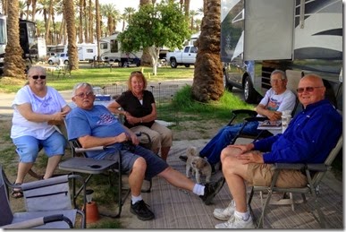
Here are Lorraine, Chuck, Linda, Mike and, of course me. It’s always nice to meet up with friends on our travels.

37-IMG_0517

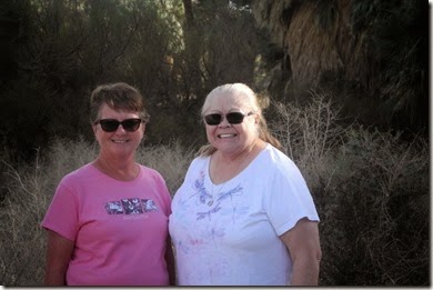
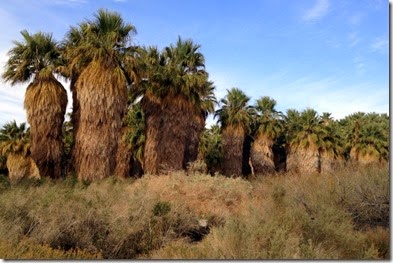
After visiting for awhile Chuck and Lorraine took us to Thousand Palm Oasis that has the San Andreas Fault running through it. This Oasis was the largest we have ever seen.

39-IMG_0105

Chuck and Lorraine.

38-IMG_0098

Sandy and Lorraine.
1-DSCN7153

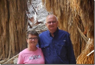
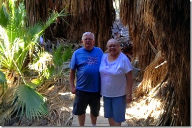
Sandy and Dave.
41-DSCN7166-001

Saturday morning we went to the Palms Springs Street Fair located at College of the Desert where we bought a few trinkets and some licorice. For supper Chuck and Lorraine took us to the Augustine Casino where the ladies had the Lobster Buffet and Chuck and I had meat loaf. Between Sandy and me we lost $13.95 after the $5 discount on our meal.
Next we are heading back toward the outskirts of LA to Yucaipa, CA to scout out a campground and then head north to Lone Pine, CA for a few days.

Until next time,

Dave and Sandy.