We spent our last 9 days in Cave Creek enjoying the weather, scenery and friends before we started our journey home. This view looks north from our campsite.
 Even the House Finches and Quail were glad to to see us back. That finch better not make a mess on my mirror!!

 The horseback riders were out riding the trails in the hills north of our campsite.
 We spent our last Sunday morning with Jane, Lori, Rick and Ron at the Rock Springs Café for a late morning piece of pie. Some of us even sampled a little breakfast.

 Sandy’s dad has a cousin from Calgary, Alberta, Canada who has a 40 acre ranch west of Phoenix where they spend their winters. Sandy and Rosemarie had not seen each other since Sandy was about 4 years old, so they had a fun reunion.
Here are Rosemarie and her husband, Tom.
Sandy’s dad has a cousin from Calgary, Alberta, Canada who has a 40 acre ranch west of Phoenix where they spend their winters. Sandy and Rosemarie had not seen each other since Sandy was about 4 years old, so they had a fun reunion.
Here are Rosemarie and her husband, Tom.
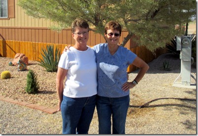
 Sandy and Rosemarie.
 Rosemarie and one of the 3 horses they brought with them from Canada.
 The Ocotillo where starting to bloom even though there was no greening of the branches because of the lack of rain.

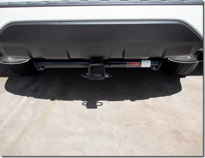
 Here Ron and I are installing a trailer hitch on their tow car. We had to drop the exhaust to install the hitch. Can you believe that Sandy accused us of taking a nap under the car?


Another project done.
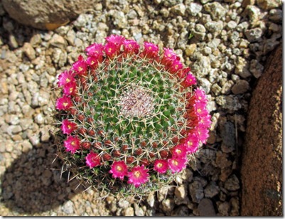
 Some cactus were blooming in their yard---
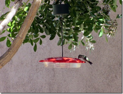
 and the hummingbirds were getting their fill.
 And, the snakes were starting to come out and now I know it’s time to leave. Although this looks like a rattlesnake, it is actually a harmless Bull Snake. It’s a good thing it decided to show up after we got done working on the car in this exact spot. Unless you see the tail it is hard to tell the difference between a Bull Snake and a Rattlesnake.
 We had to get a last picture of Jane, Denver, Ron and Charlie before we left. Hope to see them at the Theodore Roosevelt National Park in ND this June.
 After meeting Ron and Jane for breakfast at the Rock Spring Café, we began our trip home. This time we skipped the pie--- except for Jane who had a healthy egg white omelet and a banana (banana cream pie that is).
Because the weather was nice we started the drive back home by going north though Flagstaff, AZ then turning east on I-40. It was a 610 mile sprint to a rest stop about 32 miles west of Tucumcari, New Mexico where we spent the night.
This is Humphreys Peak, just north of Flagstaff, AZ. It is the highest point in Arizona at 12,633 feet.
After meeting Ron and Jane for breakfast at the Rock Spring Café, we began our trip home. This time we skipped the pie--- except for Jane who had a healthy egg white omelet and a banana (banana cream pie that is).
Because the weather was nice we started the drive back home by going north though Flagstaff, AZ then turning east on I-40. It was a 610 mile sprint to a rest stop about 32 miles west of Tucumcari, New Mexico where we spent the night.
This is Humphreys Peak, just north of Flagstaff, AZ. It is the highest point in Arizona at 12,633 feet.
 On our second day we drove 814 miles to Stuart, IA where we stopped overnight at a small truck stop.
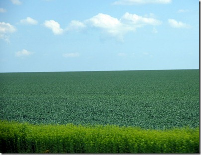
The fruit trees are blooming in Kansas and--
On our second day we drove 814 miles to Stuart, IA where we stopped overnight at a small truck stop.
The fruit trees are blooming in Kansas and--
 the fields are flat and very green.
 From Stuart, IA we finished the trip with an easy 265 mile run home. This day the drive was foggy all the way home.
 Until next time,
Dave and Sandy
Until next time,
Dave and Sandy
3-15-12 to 3-18-12
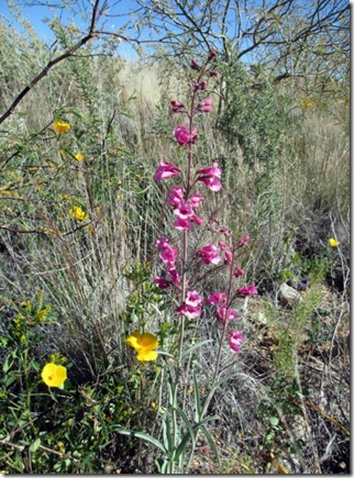
One of the reasons we came to Lost Dutchman was to take a drive to Globe, Show Low and Payson, AZ. Of course, we had to stop and get pictures of the flowers along the way.
 Part of US 60 in Arizona is called----
 The hill in the back ground is tailings from a copper mine in the Miami/Globe area.

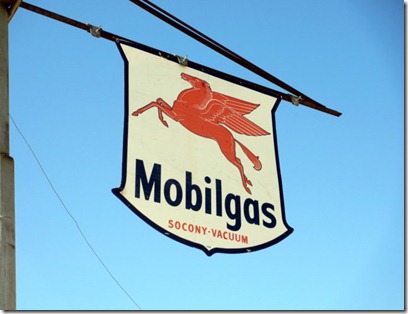
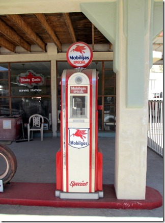
 I saw this old gas station in Globe and just had to stop and look it over.

 This is an old bulk truck used for hauling gas and fuel oil.
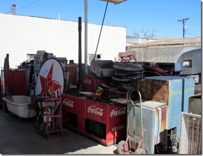
 There were lots of old signs and junk, oops, I mean antiques laying around.
 This gas pump was in very good shape.
 I had never heard of a Jewett car before.
 These copper billets were loaded and ready to be shipped, probably to a rolling mill to make coil or wire. More copper is mined in Arizona than all the other states combined.

 When we drove to the other side of the tracks to get a closer look of the copper billets on the train we had to drive through some of the older housing areas.

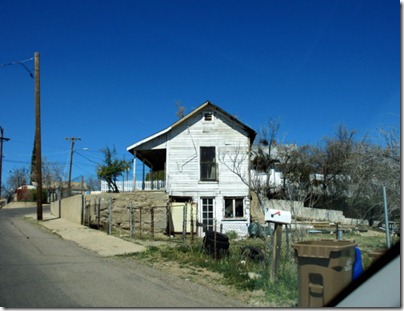 This was an old bank building in the historic area of Globe.
 When we drove from Globe to Show Low we went through the Salt River Canyon. It reminded me of a small version of the Grand Canyon.

 We had to do a lot of zigzagging to get down and then back up the canyon.

 We came across a lot of fire damage in the Show Low area as this is one of the areas hit by forest fires last summer.
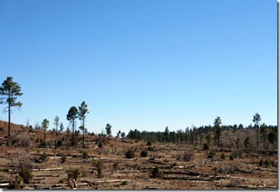 We followed an old Pony Express route from Show Low to Payson.
 It’s a lot easier driving today.
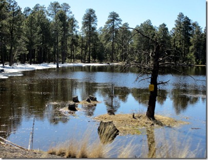
 West of Show Low there was still some snow hanging on to its last bit of life before turning to water. Just a note: 5 days after this picture they had a snow storm that dumped 35 inches of snow on the area.
 It looks like having Roosevelt Lake down about 20-25 feet gives the campers a lot more room to camp next to the water. This would be the kind of boondocking/dry camping I could get used to.

 Apache Trail is a road, Hwy 88, that runs from Apache Junction to Lake Roosevelt for about 50 miles. More than half of that is a dirt road that runs from two lanes to one lane with wide spots for getting by opposing traffic. It is easily traveled with a car and generally follows the Salt River.
 This is the upstream side of the Theodore Roosevelt Dam that creates Lake Roosevelt.
 The Lake Roosevelt Bridge is the longest two-lane, single-span, steel-arch bridge in North America. It was built from 1987-1990 at a cost of $23.3 million to relocate traffic off the top of the dam.
 This is the down stream side of the Theodore Roosevelt Dam. Very little water was being released.
 Here we are heading down stream along the Salt River. The road was very dusty and had a fair amount of two-way traffic. Needless to say, we needed a car wash the next day.

 About half way on this road we came to Tortilla Flats which has 4 buildings, one of which is this outhouse. Tortilla Flats is a tourist and biker destination which has two bars and a convenience store. Make sure to time it right if you are looking for a cold one or a bite to eat, as they shut down at 5:00 PM on week days and 6:00 PM on the weekends. Not too many people drive this this winding road after dark.

 This is Canyon Lake where I have heard you can catch some large Crappie.
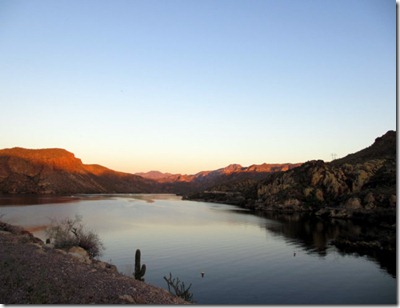
 We managed to get some good sunset pictures.

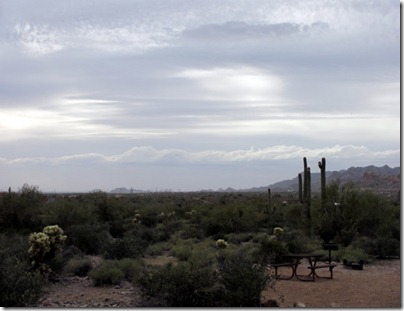
 Over night we had a cold front come through. It was a rainy 35 degrees this morning. When we woke up Sunday morning, the 18th, we had a new view of the snow capped Superstition Mountains.

 Until next time,
Dave and Sandy
Until next time,
Dave and Sandy


